One of the greatest engineering feats of World War Two was the construction of a road that spanned from southwest China across the Himalayan Plateau, through northern Burma’s dense jungle, over steep mountains and past fetid swamps, to Ledo in India's Assam state.
It began as the Burma Road, a 700-mile (1,126-kilometre) route cut by more than 200,000 Chinese and Myanmar labourers from the Chinese city of Kunming to the railhead city of Lashio in northern Shan state.
As the Imperial Japanese Army sealed parts of coastal China, supplies were landed at Rangoon, brought by train to Lashio and transported on this crucial artery of the Second Sino-Japanese War.
But the Japanese occupation of Burma in early 1942 severed the Burma Road, sparking two ambitious Allied plans to keep China supplied: treacherous flights from India over the Himalayas, a route known as “the Hump,” and a more long-term goal of forging a new road from Ledo to the Burma Road, which Allied troops would fight to reopen.
With US Army engineers leading its construction, this 465-mile (748-kilometre) section—the Ledo Road—met with the Burma Road at Shan state’s Mongyu, where it officially opened in early 1945.
Chinese Generalissimo Chiang Kai-shek later named the whole route after American General Joseph W. Stilwell—better known to his troops as “Vinegar Joe”—the Allied Chief of Staff in the China-Burma-India Theatre during the war.
The road came with another name too—the Man-a-Mile Road, due to the thousands of people who died building it. Trucks negotiating the full 1,078 miles (1,736 kilometres) of the route, which included 700 bridges reaching over 10 major rivers, would often succumb to its dangerous turns and hazardous weather—particularly during the monsoon.
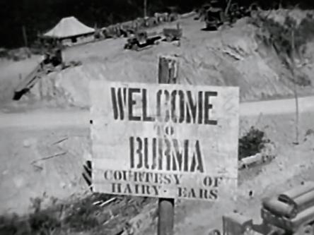
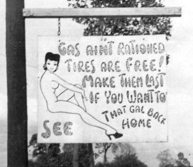
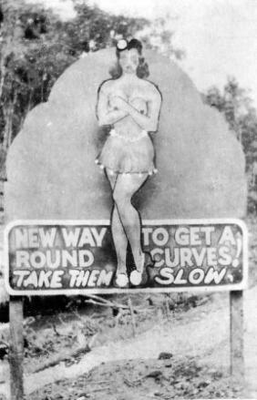
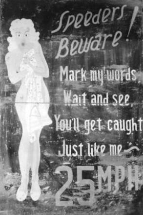
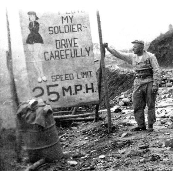
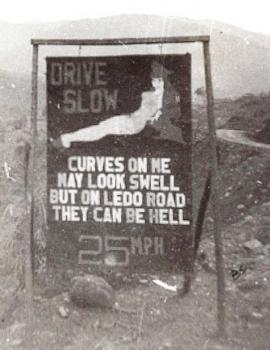
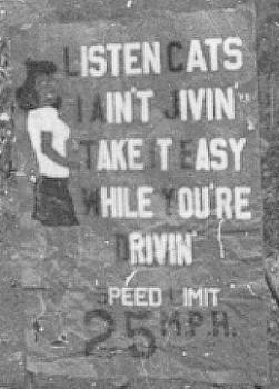
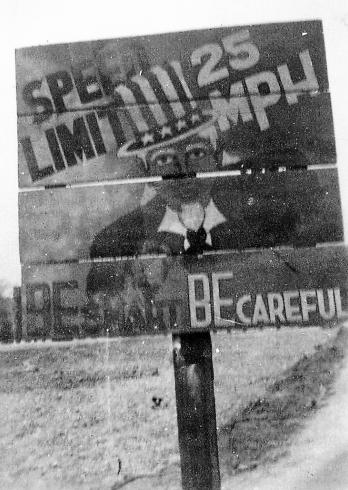
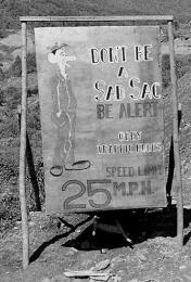
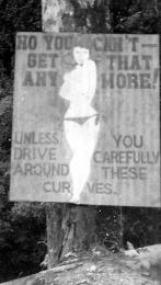
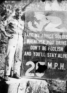
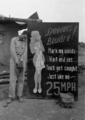
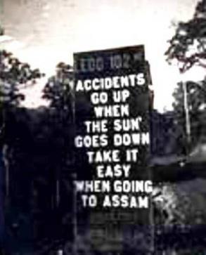
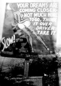
Drivers needed warnings of the most precarious stretches, and a seemingly popular way to get their attention was by using illustrations of pin-up models. In this photo gallery, we look at some of the Stilwell Road signs.

